Geospatial Data Map: Multimodal Assets
Posted on July 12, 2022 • 1 minutes • 195 words
As part of a forthcoming Department of Homeland Security Resilience Guide, I created an interactive map of key multimodal infrastructure assets for major economic centers along the Tennessee and Cumberland Rivers.
Chattanooga Critical Transportation Infrastructure
Click the arrows » to access the legend
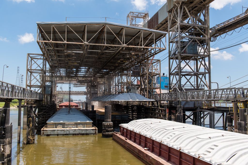
The map above indicates the location of Chattanooga water way infrastructure, such as public ports and locks, in relation to Class I rail and Primary Roadways (highways).
Traditionally, public port location data has only been available in print copies of Inland Riverway Guides made for mariners. Using the Google Maps API, I was able to generate approximate GPS coordinates of these facilities for analysis.
The spatial distance assessment tools in ArcGIS Pro allowed our team to identify which public ports had superior proximity to both major rail and roadways for renewed investment in multimodal terminals.
Diversifying the modes by which essential services, such as energy, can be delivered was identified as a key resilience enhancement option by our research team.